NASA flies its SPLICE landing-navigation payload on a drone
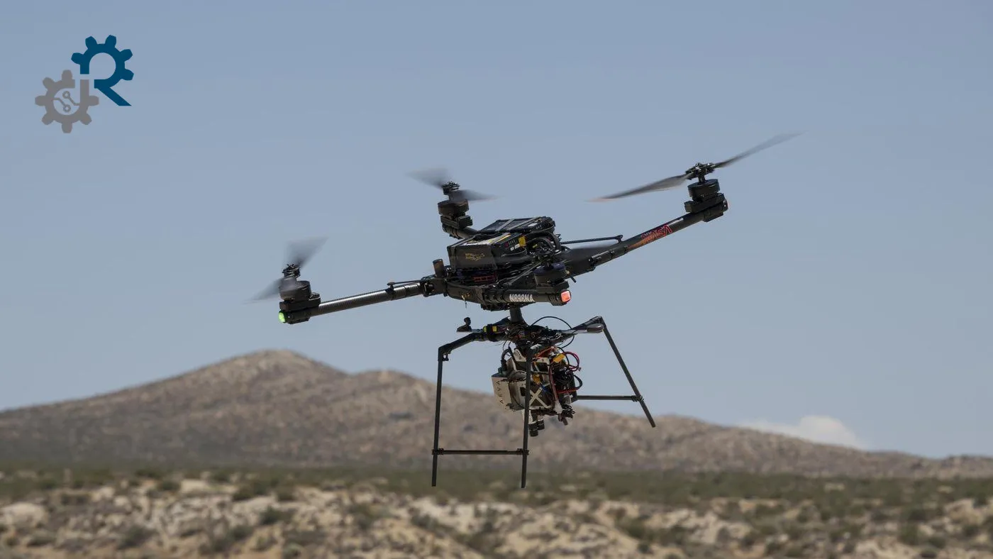
Image: NASA/Ryan Kline · public-domain
NASA reported on 4 November 2026 that SPLICE mapped terrain and diverted an Alta-X drone from an unsafe target in a simulated lunar descent.
NASA's Armstrong Flight Research Center reported on 4 November 2026 that SPLICE, a landing-navigation payload developed at Johnson Space Center, flew on an Alta-X drone on 27 August over Rogers Dry Lake in California. The flight simulated a lunar descent and landing.
The payload built high-resolution elevation maps from lidar and other sensor data and assessed possible landing areas. When it judged a target unsafe, it diverted the drone to a safer spot. NASA says the flight raised the technology readiness level of the system for future robotic and crewed lunar missions. Earlier hover tests on 15 July had verified communication with the payload.
NASA plans a full-scale test at Voyager Technologies in Mojave, California, and a release of the guidance software in its software catalog this fall. The agency says several commercial lunar landers planned for its Moon Base missions are to use SPLICE-derived data for soft touchdowns. The test was a drone simulation, not a landing on another body.
Sources
- NASA Armstrong Flight Research Center Primary source